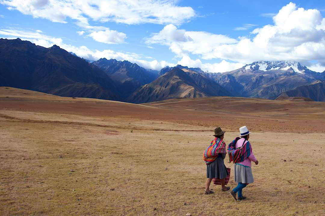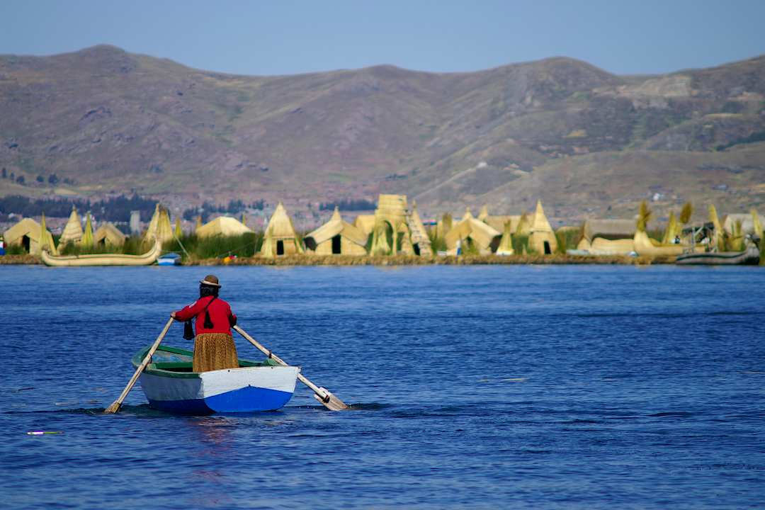
Age alone says little about how Peru will feel, with three separate burdens shaping each stop: altitude, walking, and transfers. Walking fitness decides how you handle stairs and long days; altitude tolerance is a different matter, and fitness offers no protection against altitude illness. The CDC notes that altitude illness can affect travelers who sleep at about 8,200 feet and above before they have acclimatized. It recommends a gradual ascent to places such as Cusco and Lake Titicaca. Talk with your doctor before you book about your risk and whether altitude medication makes sense.
Gradual ascent is the principle, and a few practical habits follow from it:
- Sleep lower than Cusco where practical. Sleeping elevation and the pace of ascent matter most. Sacred Valley towns such as Ollantaytambo, at about 9,160 feet, sit below Cusco and are high altitude, and flying into Cusco still means landing at about 11,000 feet before the road transfer down. A lower base can help, and acclimatization still varies from person to person.
- Keep the first highland day light. Your guide can plan a slow afternoon, an early dinner, and a later start the next morning.
- Count excursions as altitude too. A Colca Canyon trip crosses a pass of about 16,100 feet, even if you sleep far lower, and Lake Titicaca sits at about 12,500 feet; decide on them with your doctor and your specialist, since altitude tolerance varies from person to person and trip to trip.
- Plan for effort beyond elevation. Stairs, uneven stone, heat, humidity, and boat landings can weigh as much as height on a map, and they vary from one site and lodge to the next.
No single route suits every traveler, which is where a specialist’s judgment earns its keep. Below, the nine places appear in the order a trip through Peru would usually reach them, starting at sea level on the coast and climbing gradually to the highest stops.
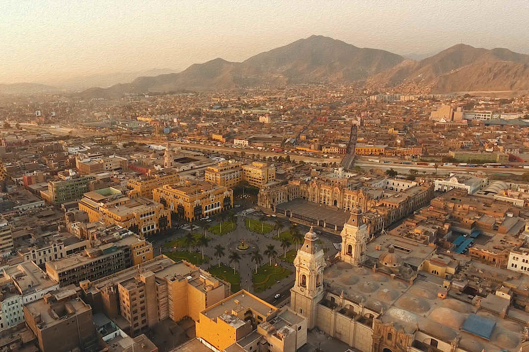
- Lima sits at about 530 feet. Walking is mostly level, with some stairs in museums. Lima is Peru’s main international gateway, and most long-haul flights land here. In the cooler months, coastal mist often hangs over the city.
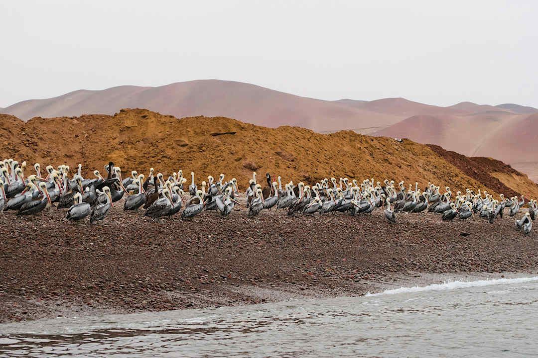
- Paracas sits near sea level. There is little walking beyond boarding a small boat. Paracas is about three to four hours by road south of Lima. Boat operators favor morning departures, when the sea is often calmer.
- Trujillo also lies near sea level. Its archaeological sites are mostly flat and sandy, with strong sun. Trujillo is about an hour and 15 minutes by air north of Lima. At Chan Chan, the sun and heat are the main challenge.
- Puerto Maldonado is the gateway to the lowland Amazon. Walking includes forest trails, boat landings, lodge stairs, and canopy towers, and the amount varies by lodge. It is about an hour and a half by air from Lima. Expect heat, humidity, and insects, and check vaccine advice before you travel.
- Arequipa sits at about 7,600 feet, a moderate first step into the highlands. Walking is gentle, with level plazas, cobbled streets, and steps inside the monastery. Most travelers arrive by flight from Lima. Colca Canyon trips are the exception, since the road crosses a pass near 16,100 feet.
- The Sacred Valley (Ollantaytambo) sits at about 9,160 feet. The village lanes are easy, but the Inca terraces involve steep stone steps. You reach the valley by road transfer from Cusco’s airport, which is at about 11,000 feet. Ollantaytambo is lower than Cusco but still at high altitude, and it is where the Machu Picchu train departs.
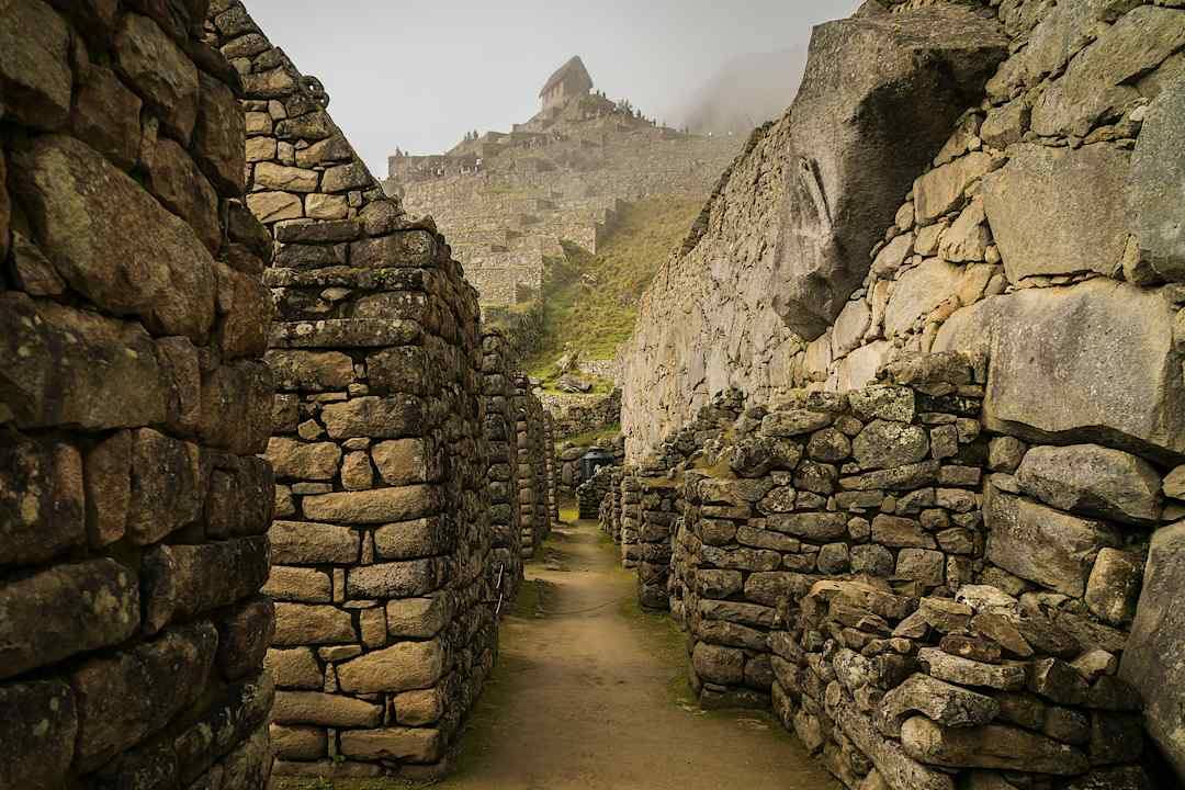
- Machu Picchu lies at about 7,970 feet. Expect stone stairs and uneven paths, and the effort depends on which circuit you follow. To get there, you take a train to Aguas Calientes and then a bus up to the site. Entry is timed, and visitors follow set routes.
- Cusco stands at about 11,000 feet. Its cobbled streets are steep, and most travelers fly in from Lima. Cusco is at high altitude from the moment you land, so many trips save it until after the Sacred Valley.
- Puno (Lake Titicaca) sits at about 12,500 feet, which makes it the highest place to sleep on this list. Walking covers the lakeshore, boat steps, and uneven reed or stone paths on the islands. You can fly to Juliaca, or travel by road or rail from Cusco over a 14,200-foot pass.
Elevations are rounded and refer to town centers or the main visitor area: the CDC for Lima, Cusco, and Lake Titicaca, UNESCO for Machu Picchu, and regional references for the rest. Read each row for all three burdens: a low elevation can still come with a demanding boat landing or a long staircase.
Where the Sacred Valley fits
The Sacred Valley's towns sit below Cusco at high altitude, and the train to Machu Picchu leaves from Ollantaytambo, which is why many trips use the valley as their first base in the region. Entry three below covers what it holds.